


iii
Map Data
One of the goals of Garmin is to provide customers with the most complete and
accurate cartography that is available to us at a reasonable cost. We use a combination
of governmental and private data sources, which we identify as required in product
literature and copyright messages displayed to the consumer. Virtually all data sources
contain inaccurate or incomplete data to some degree. This is particularly true outside
the United States, where complete and accurate digital data is often not available or
prohibitively expensive.
Due to map accuracy issues, during your travels it is advisable to visually check
your general surroundings and compare them to the on-screen map data. Making such
comparisons on a routine basis will help ensure that you are heading to or arriving at
the intended destination.
General Information
Introduction
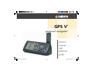
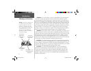
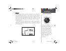
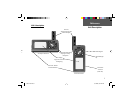
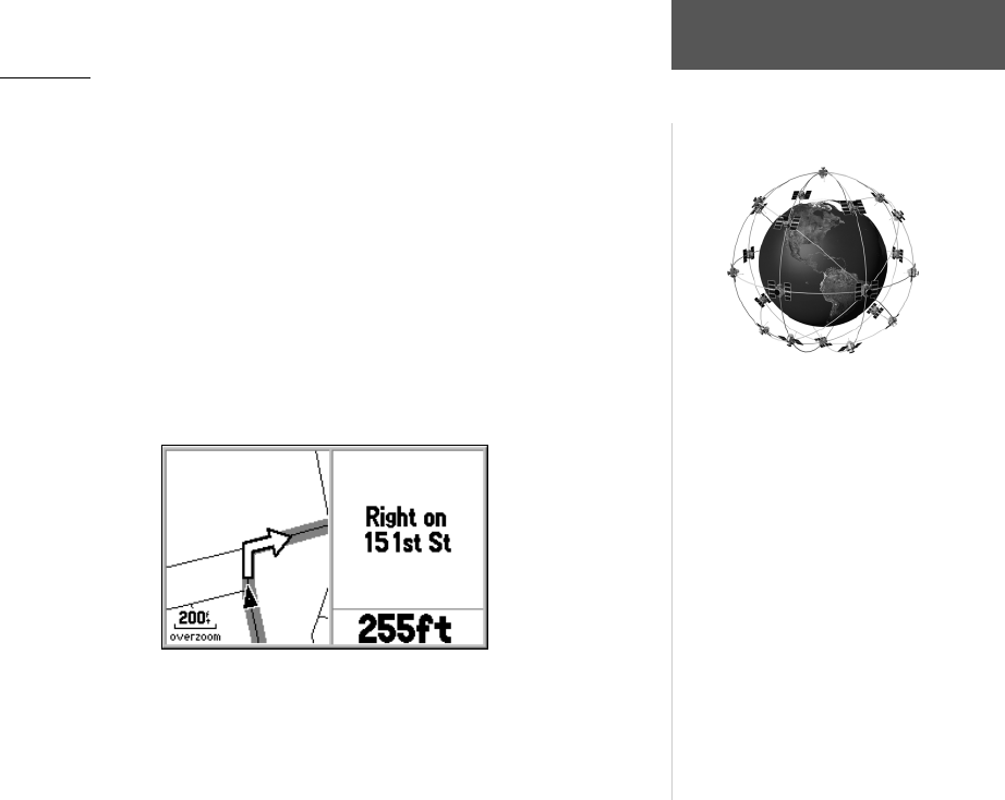
The GPS V uses the Global Positioning
System (GPS) in order to fi nd your precise
location. GPS consists of a constellation of
24 (or more) satellites, circling the earth
twice a day, at an approximate altitude of
12,000 miles. The satellites transmit very
low power radio signals containing position
and time information, allowing anyone with
a GPS receiver to determine their location
on the earth within 100 meters. For more
detailed information regarding GPS, we have
prepared a booklet called “GPS Guide for
Beginners” which is available
to you from our web site at:
www.garmin.com.
GPS V OM.indd iii 5/7/2003, 8:52:28 AM